By Eleanor Hoskins on Jul 24, 2015
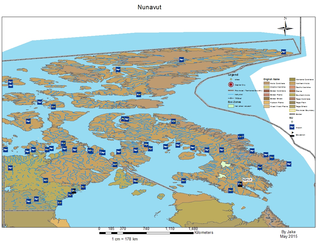
A customized map of Nunavut created by a student
Amanda Younger, the presenter in question, first used ArcGIS as a geography student at Kwantlen University. During her practicum, she was looking for unique ways to share her passion for the subject with her students, and came back to GIS (Geographic Information System) technology. Again, this software is used to collect, store and share very detailed data from a vast range of fields–but this means that students have a hands-on, highly self-directed way to explore and learn Canadian geography. As part of their assignments, students had to include a legend and a basic set of map details, but after that they had the opportunity to customize them with whatever other information they considered important, relevant or interesting. This allowed students to learn about the natural features of the province they were studying, and also skills in recognizing patterns and thinking critically about presenting data.
Amanda’s work shows the power of using what you know to convey what you are passionate about. And the technology she used provided students with an experience that was more engaging and interdisciplinary than more conventional assignments like colouring in a map or listing facts about a province. Her class had the chance to work with extremely current data and powerful software tools to create very high-quality projects. Not all technologies are usable at an appropriate level for the elementary classroom, but sometimes very strong educational tools and resources come from unexpected places!
Check out Amanda’s blog post below for more details and sample maps.
Additional Resources